Bringing a new approach to damage prevention, 4M Analytics is a subsurface geo-data company providing smart tools, powered by applying advanced AI to satellite imagery analysis for the civil engineering domain. Founded with the vision of giving humanity unprecedented access to what is happening underneath the surface, the company is changing the way subsurface mapping can be leveraged in a variety of sectors, from agriculture to utilities engineering.
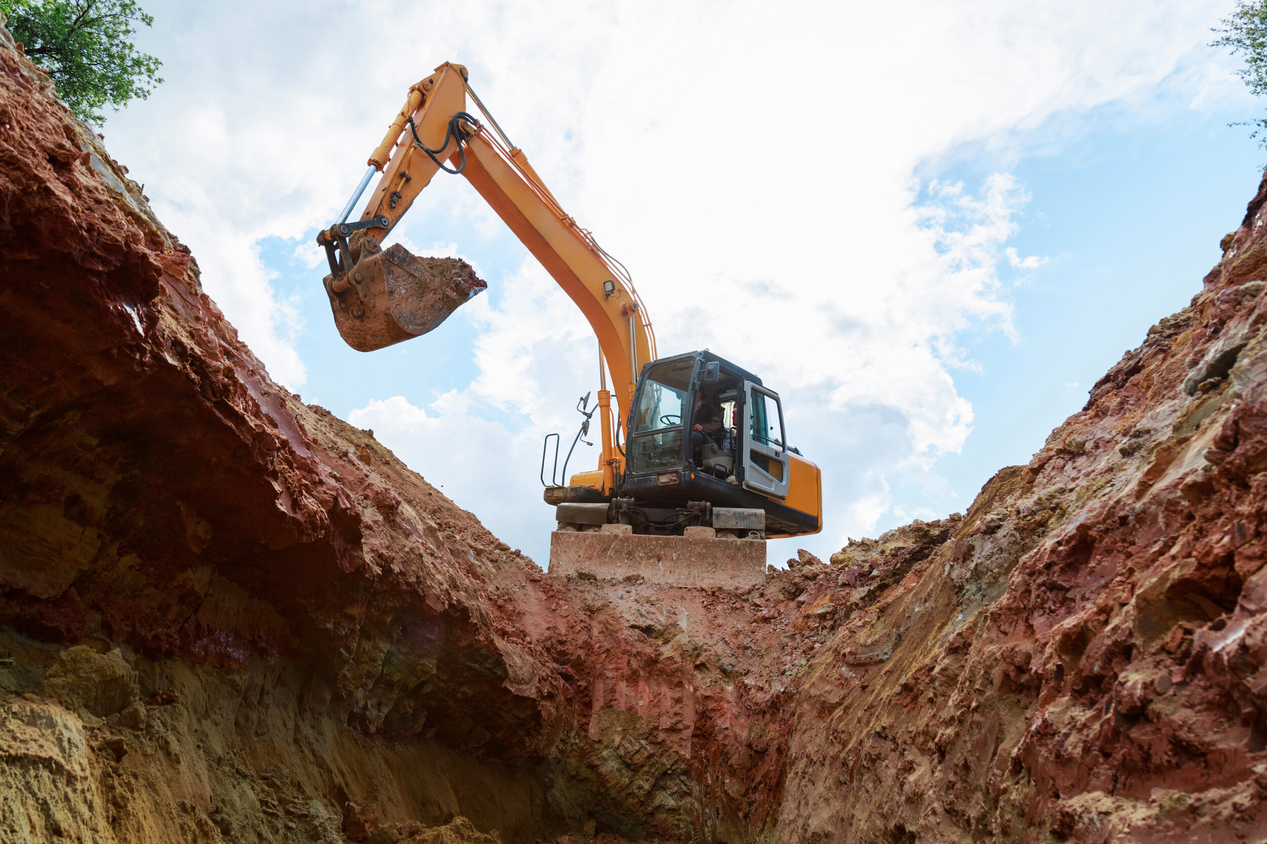
One of the most dangerous and costly challenges the industry is faced with is excavation accidents and utility strikes. Looking at the U.S. for example, with more than 35 million miles of utility lines buried underground, there were an estimated 439,000 strikes on subsurface utilities during 2017 alone. That same year the PHMSA (Pipeline and Hazardous Materials Safety Administration) reported to the U.S. Congress that the use of mapping technologies is able to reduce excavation damage incidents by as much as 67%.
Evidently, the situation has not improved much, as shown in the Damage Information Reporting Tool (DIRT) Report published in October 2020 by the Common Ground Alliance (CGA), with an all-time high of 534,151 damage reports entered during 2019. Over that year alone, the societal costs of damage to buried utilities in the U.S. was estimated at $30 billion (USD).
In response to the industry pain points/challenges, 4M Analytics is bringing cutting-edge AI and computer vision, together with satellite imaging, to power its 4Map platform. This is a smart system that uses sophisticated algorithms applied to aerial images and satellite data to produce a computer-generated mapping of existing subsurface structures and utilities.
The 4Map platform greatly improves the quality and availability of information on existing subsurface infrastructure, providing an accurate and detailed map of any site. This ability is important to many stakeholders in civil engineering, and its contribution to efforts in minimizing possible strikes and accident prevention cannot be overstated. Furthermore, the advantages of the 4Map platform are not limited to specific project stages as having an accurate, current map of the subsurface helps in reducing costs caused by changes to project planning as well as during execution. It also has a positive impact on schedule delays stemming from operating with outdated or incomplete information of the subsurface infrastructure at the worksite.
Targeting damage prevention and work safety 4M Analytics has developed 4Dig: a mobile app using live GPS data and the 4Map platform, offering a much safer combination of accurate mapping and the real-time location of any excavation crew. By making sure excavators are aware of the utilities in their vicinity, 4Dig helps in preventing accidental strikes and the damage they incur, as well as guarantee workers’ safety and allow better control during the project progression.
The 4Dig app also benefits project managers and controllers by enabling immediate response to events and alerts, due to live GPS monitoring of each individual machine. As a tool developed by construction workers for construction workers, the 4Dig app is instrumental in managing risks associated with excavation works and ensuring the safety of workers and machine operators on site.
This year’s Excavation Safety Conference is a great opportunity to showcase the capabilities of 4M Analytics as a leading force in geo-data and subsurface mapping.
With presentations by Raz Ezra, Director of Business Development and Harel Dan, Head of Remote Sensing & GIS, 4M Analytics is proud to take part in this global event dedicated to safety education and introducing new breakthroughs in the field of damage prevention and excavation safety.